


Site surveys
Site surveys are detailed studies carried out to supplement and verify site information provided by the client and site appraisals carried out by the consultant team.
They may begin with a simple walkover survey and then progress to more detailed surveys focusing on specific issues.
Site surveys might be carried out by members of the consultant team if they have the required skills, or might be commissioned from specialists. The consultant team should assess what surveys are required (generally after initial feasibility studies have been carried out), and request approval from the client to commission those surveys or carry them out themselves.
Site surveys might include:
- Existing buildings (including valuation, measured surveys, structural surveys, structural investigations, condition surveys, and demolition surveys).
- Geological and geotechnical.
- Topographical surveys, perhaps including laser scanning, Lidar or photogrammetry.
- Contamination.
- Ecological survey.
- Archaeological (see Archaeology).
- Traffic and transport.
- Local climate.
- Flood risk.
- Air quality.
- Acoustic.
- Photographic.
- Historic use.
- Boundary surveys.
- Structural surveys (including retained structures, underground structures and obstructions).
- Unexploded bomb survey.
- Railway and tunnel search.
- Asbestos and other hazardous materials surveys and registers.
- Fire hydrants.
- Telecommunications.
- Wireless networks and satellite reception.
- Electrical infrastructure and capacity.
- Gas network infrastructure and capacity.
- Foul sewers and drains infrastructure and capacity.
- Existing water supply infrastructure and capacity.
- Soil survey.
Wherever possible, any information prepared or obtained should be in a format which can be readily shared and used, and should be stored and named in a way consistent with the long-term project and operational needs.

[edit] Related articles on Designing Buildings
- 3D laser survey.
- Archaeology and construction.
- Building People.
- Building survey.
- Condition survey.
- Desk study.
- Development appraisal.
- Easements.
- Ecological survey.
- Environmental Impact Assessment.
- EWS1 forms not required for buildings without cladding.
- Ground conditions.
- Ground investigation.
- Interferometric synthetic aperture radar InSAR.
- Interview with Elly Ball, co-founder, Get Kids into Survey.
- Land surveying.
- Laser scanning.
- Levelling.
- Measurement of existing buildings.
- Pre-construction information.
- RICS publishes Land Measurement for Planning and Development Purposes.
- Site appraisals.
- Soil survey.
- Surveying instruments.
- Surveyor.
- Technical due diligence.
- Vendor survey.
- Walkover survey.
- What is a valuer?
Featured articles and news
Microcosm of biodiversity in balconies and containers
How minor design adaptations for considerable biodiversity benefit.
CIOB student competitive construction challenge Ireland
Inspiring a new wave of Irish construction professionals.
Challenges of the net zero transition in Scotland

Skills shortage and ageing workforce hampering Scottish transition to net zero.
Private rental sector, living standards and fuel poverty

Report from the NRH in partnership with Impact on Urban Health.
.Cold chain condensing units market update

Tracking the evolution of commercial refrigeration unit markets.
Attending a conservation training course, personal account

The benefits of further learning for professsionals.
Restoring Alexander Pope's grotto
The only surviving part of his villa in Twickenham.
International Women's Day 8 March, 2025

Accelerating Action for For ALL Women and Girls: Rights. Equality. Empowerment.
Lack of construction careers advice threatens housing targets

CIOB warning on Government plans to accelerate housebuilding and development.
Shelter from the storm in Ukraine

Ukraine’s architects paving the path to recovery.
BSRIA market intelligence division key appointment

Lisa Wiltshire to lead rapidly growing Market Intelligence division.
A blueprint for construction’s sustainability efforts

Practical steps to achieve the United Nations Sustainable Development Goals.
Timber in Construction Roadmap
Ambitious plans from the Government to increase the use of timber in construction.

ECA digital series unveils road to net-zero.
Retrofit and Decarbonisation framework N9 launched
Aligned with LHCPG social value strategy and the Gold Standard.
Competence framework for sustainability
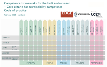
In the built environment launched by CIC and the Edge.
Institute of Roofing members welcomed into CIOB

IoR members transition to CIOB membership based on individual expertise and qualifications.
Join the Building Safety Linkedin group to stay up-to-date and join the debate.
Government responds to the final Grenfell Inquiry report
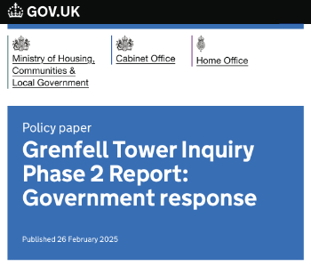
A with a brief summary with reactions to their response.