


Measured survey
Land measurement for planning and development purposes, Guidance Note, Global 1st edition, Published by the Royal Institution of Chartered Surveyors (RICS) in May 2021, states: ‘A measured survey is carried out using precise surveying equipment that can measure and fix position, linear dimensions and shape. This may be achieved using equipment that measures angles and distances, such as an electronic theodolite/total station, or that fixes coordinates using satellites (GNSS). Drones are increasingly being employed for this purpose. The specification for undertaking the survey and the output accuracy should be fully understood.’
[edit] Related articles on Designing Buildings Wiki
Featured articles and news

A five minute introduction.
50th Golden anniversary ECA Edmundson apprentice award
![]()
Showcasing the very best electrotechnical and engineering services for half a century.
Welsh government consults on HRBs and reg changes
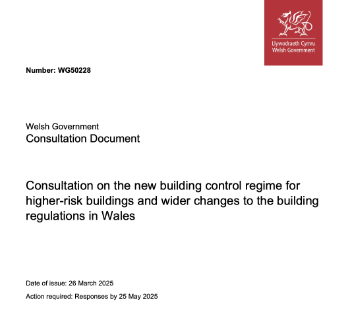
Seeking feedback on a new regulatory regime and a broad range of issues.
CIOB Client Guide (2nd edition) March 2025

Free download covering statutory dutyholder roles under the Building Safety Act and much more.
AI and automation in 3D modelling and spatial design

Can almost half of design development tasks be automated?

Minister quizzed, as responsibility transfers to MHCLG and BSR publishes new building control guidance.
UK environmental regulations reform 2025
Amid wider new approaches to ensure regulators and regulation support growth.

The maintenance challenge of tenements.
BSRIA Statutory Compliance Inspection Checklist
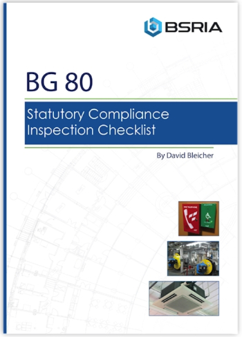
BG80/2025 now significantly updated to include requirements related to important changes in legislation.
Shortlist for the 2025 Roofscape Design Awards
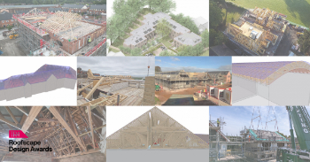
Talent and innovation showcase announcement from the trussed rafter industry.
OpenUSD possibilities: Look before you leap

Being ready for the OpenUSD solutions set to transform architecture and design.
Global Asbestos Awareness Week 2025

Highlighting the continuing threat to trades persons.
Retrofit of Buildings, a CIOB Technical Publication
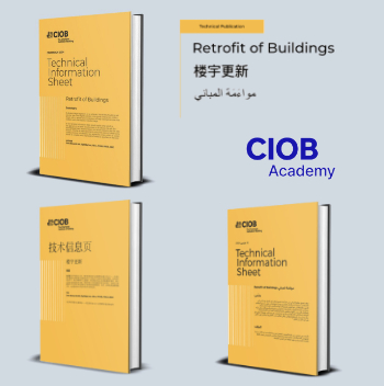
Now available in Arabic and Chinese aswell as English.

The context, schemes, standards, roles and relevance of the Building Safety Act.
Retrofit 25 – What's Stopping Us?
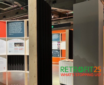
Exhibition Opens at The Building Centre.
Types of work to existing buildings

A simple circular economy wiki breakdown with further links.
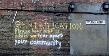
A threat to the creativity that makes London special.