


Remote sensing
Remote sensing in general means the detecting of information from a distance. More specifically the surface of the earth can be observed and in many cases monitored through the use of satellites or aircraft carrying specialist equipment. This equipment ranges from video and photographic equipment to laser scanning (lidar) and sensor equipment that can detect and record distances accurately as well as reflected or emitted energy.
The earliest and simplest form of remote sensing was the aerial photograph, which gave the opportunity to see for the first time large areas of land use from above, it became an important tool in recording historical landscape changes but also in planning future uses. As the resolution of images has improved along with tools enabling better interpretation and analysis, satellite imagery continues to be an important tool in governance, urban planning and architecture.
Other more specialist remote sensing tools such as radiometers measure electromagnetic energy produced by the vibration of charged particles to analyse changes in the surface and atmosphere of the earth. Spectrometers analyse the surface and atmosphere of the earth using light (either from the sun or from their own source). These passive and active sensors combined have the ability to measure land and sea surface temperature, vegetation properties, cloud and aerosol properties, physical attributes, forest structure, precipitation and wind, sea surface topography, ice among other characteristics.
Remote sensing as a core element of Geoinformatics is seen as an opportunity to better inform the field of urban planning with various free geographic information tools becoming openly available benefiting from both Geographic Information Systems (GIS) in combination with remote sensing.
The Copernicus Land Monitoring Service - Urban Atlas, developed by the European Union is one such tool, as well as the interactive UK Geoinformation tool MAgiC. Links to both tools are given below.
- https://www.eea.europa.eu/data-and-maps/data/copernicus-land-monitoring-service-urban-atlas
- https://magic.defra.gov.uk/
Whilst Google Maps and Google Earth are commonly used tools, they to some extent give access to historical aerial photographic data. Whist the Aerial Photo Explorer recently released by Historic England gives access to mapped historic aerial photographs across the UK.
- https://earth.google.com/web/
- https://historicengland.org.uk/images-books/archive/collections/aerial-photos/
NB The glossary of statistical terms, published by the Organisation for Economic Co-operation and Development (OECD), defines remote sensing as: ‘The process of acquiring information about an object from a distance; i.e. without physical contact. Remote sensing usually refers to image acquisition by means of satellite sensors or aerial photography.
[edit] Related articles on Designing Buildings
- 3D city model.
- 3D printer.
- BIM for heritage asset management.
- Building information modelling.
- Building survey.
- Construction cameras.
- Construction drones.
- Desk study.
- Development appraisal.
- Drones as a Service DaaS.
- Geophysical survey.
- Global positioning systems and global navigation satellite systems.
- Ground control point GCP.
- How can drones transform construction processes?
- How to layout a building.
- Impulse radar.
- Innovation and investigation at the Hill House.
- Interview with David Southam about laser scanning in construction.
- Laser.
- Laser scanning for building design and construction
- Pre-construction information.
- Radar.
- Site information.
- Site surveys.
- Surveying instruments.
- Surveyor.
- Technical due diligence.
- Uses of drones in construction.
- Vendor survey.
Featured articles and news
Costs and insolvencies mount for SMEs, despite growth
Construction sector under insolvency and wage bill pressure in part linked to National Insurance, says report.
The place for vitrified clay pipes in modern infrastructure
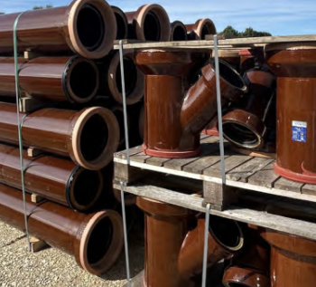
Why vitrified clay pipes are reclaiming their role in built projects.

Research by construction PR consultancy LMC published.
Roles and responsibilities of domestic clients

ACA Safety in Construction guide for domestic clients.
Fire door compliance in UK commercial buildings
![]()
Architect and manufacturer gives their low down.
Plumbing and heating for sustainability in new properties
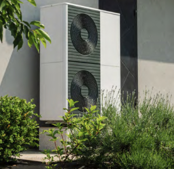
Technical Engineer runs through changes in regulations, innovations in materials, and product systems.
Awareness of the Carbon Border Adjustment Mechanism
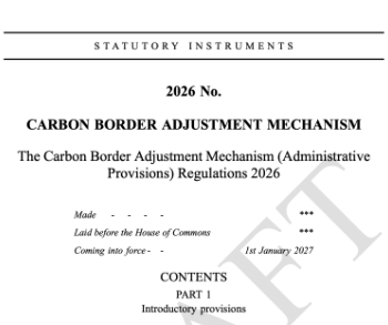
What CBAM is and what to do about it.
The new towns and strategic environmental assessments
12 locations of the New Towns Taskforce reduced to 7 within the new towns draft programme and open consultation.

Buildings that changed the future of architecture. Book review.
The Sustainability Pathfinder© Handbook
Built environment agency launches free Pathfinder© tool to help businesses progress sustainability strategies.

Government outcome to the late payment consultation, ECA reacts.
IHBC 2025 Gus Astley Student Award winners
![]()
Work on the role of hewing in UK historic conservation a win for Jack Parker of Oxford Brookes University.
Future Homes Building Standards and plug-in solar
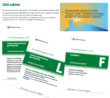
Parts F and L amendments, the availability of solar panels and industry responses.
How later living housing can help solve the housing crisis
Unlocking homes, unlocking lives.
Preparing safety case reports for HRBs under the BSA
A new practical guide to preparing structural inputs for safety cases and safety case reports published by IStructE.
Male construction workers and prostate cancer

CIOB and Prostate Cancer UK encourage awareness of prostate cancer risks, and what to do about it.