


Geophysical survey
Contents |
[edit] Introduction
A geophysical survey is a cost-effective, non-intrusive and relatively efficient means of detecting and assessing sub-surface features. Geophysical surveys are capable of covering large areas at low cost by taking readings between widely spaced borings to detect and locate changes in sub-surface materials or stratification. They are useful for extended sites where conditions are generally favourable and are widely-used in the support of planning applications.
There are a wide variety of geophysical techniques available for measuring different physical properties, with different levels of sensitivity to different types of feature. The site-specific conditions and the type and composition of likely features will determine the suitability of a particular technique.
The most commonly-used geophysical survey techniques:
- Electrical resistivity.
- Seismic refraction and reflection.
- Magnetometry.
- Ground-penetrating radar (GPR).
[edit] Electrical resistivity
Electrical resistivity surveys detect the difference in electrical resistance between different rock or soil types. They are able to detect features such as swallow holes or underground cavities, and analysis of the results can establish the thicknesses and depths of the various sub-strata.
The method involves passing a small electrical current through equally-spaced electrodes on the surface. By varying the electrode centres, the penetration depth can be varied. The recorded differences in relative resistance are used to map features such as voids, ditches, pits and structural features. This is useful in situations where magnetometry is unsuitable, however, it can be more time-consuming and problems can occur if conductors such as pipes and cables are present, as these can make the survey results unreliable.
[edit] Seismic refraction and reflection
Seismic refraction and reflection involves propagating vibrations with a ‘sledgehammer’ and measuring the time taken and the distance covered by the shock waves. Shallow exploration tends to favour the refraction method, whereby seismometers are spaced at increasing distances from the vibration source with the shock waves plotted against a time scale.
The reflection method is suited to exploration depths of greater than 150 m. Both methods are useful for determining the change in soil type and for surveying sites for tunnels, dams and harbour works.
[edit] Magnetometry
Magnetometry is based on measuring the variations in intensity and direction of the earth’s magnetic field and is capable of providing a rapid, detailed assessment of a large area. Anomalies in the vertical component of the earth’s magnetic field can be detected, which can identify and locate underground cavities, building remains, pits, and buried objects such as cables and pipelines.
[edit] Ground-penetrating radar (GPR)
A radar signal is directed at the ground, and the time take for reflection to reach the detector can be used to map the depth of sub-surface features. It can be used for deep objects and can identify small features, but is generally best suited to good ground conditions.
[edit] Related articles on Designing Buildings Wiki
- 3D laser survey.
- Alluvium.
- Condition survey.
- Desk study.
- Ecological survey for design and construction.
- Environmental Impact Assessment.
- Geotechnical engineering.
- Ground conditions.
- Ground improvement techniques.
- Ground investigation.
- In situ testing of soils.
- Interferometric synthetic aperture radar InSAR.
- Interview with Elly Ball, co-founder Get Kids into Survey.
- Land surveying.
- Minerals surveyor.
- Preliminary ecological appraisal.
- Radar.
- Soil report.
- Soil survey.
- Subsoil.
- Surveying instruments.
- Testing construction materials.
- Testing pile foundations.
- Thermographic survey of buildings.
- Topsoil.
- Trial pit.
- Types of soil.
- Using satellite imagery to monitor movements in megaprojects.
- Walkover survey.
[edit] External references
- ‘Introduction to Civil Engineering Construction’ (3rd ed.), HOLMES, R., The College of Estate Management (1995)
Featured articles and news
Costs and insolvencies mount for SMEs, despite growth

Construction sector under insolvency and wage bill pressure in part linked to National Insurance, says report.
The place for vitrified clay pipes in modern infrastructure
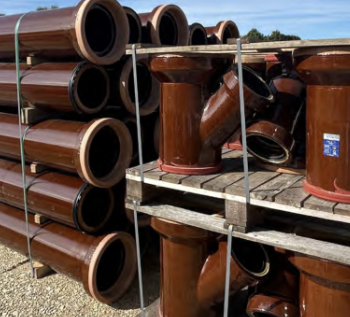
Why vitrified clay pipes are reclaiming their role in built projects.

Research by construction PR consultancy LMC published.
Roles and responsibilities of domestic clients

ACA Safety in Construction guide for domestic clients.
Fire door compliance in UK commercial buildings
![]()
Architect and manufacturer gives their low down.
Plumbing and heating for sustainability in new properties

Technical Engineer runs through changes in regulations, innovations in materials, and product systems.
Awareness of the Carbon Border Adjustment Mechanism
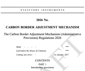
What CBAM is and what to do about it.
The new towns and strategic environmental assessments
12 locations of the New Towns Taskforce reduced to 7 within the new towns draft programme and open consultation.

Buildings that changed the future of architecture. Book review.
The Sustainability Pathfinder© Handbook
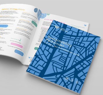
Built environment agency launches free Pathfinder© tool to help businesses progress sustainability strategies.

Government outcome to the late payment consultation, ECA reacts.
IHBC 2025 Gus Astley Student Award winners
![]()
Work on the role of hewing in UK historic conservation a win for Jack Parker of Oxford Brookes University.
Future Homes Building Standards and plug-in solar

Parts F and L amendments, the availability of solar panels and industry responses.
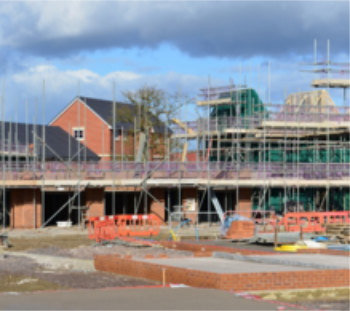
How later living housing can help solve the housing crisis

Unlocking homes, unlocking lives.
Preparing safety case reports for HRBs under the BSA

A new practical guide to preparing structural inputs for safety cases and safety case reports published by IStructE.
Male construction workers and prostate cancer

CIOB and Prostate Cancer UK encourage awareness of prostate cancer risks, and what to do about it.