


Ground sample distance GSD
In digital photos taken from the air, a ground sample distance (GSD) - or ground sampling distance - is a calculation used to explain how the real world scale established by ground control points (GCPs) translates onto a map. They can also be referred to as ground projected sample interval (GSI) or ground projected instantaneous field of view (GIFOV).
Aerial surveys incorporate GSDs as a factor for generating accurate maps and models. It can be a useful calculation in several sectors, including construction, cartography, mining and so on.
GSDs can be incorporated into photogrammetry and aerial photography which can be used to create three dimensional topographic maps.The GSD describes the distance between the centre point of two consecutive pixels on a digital image. Without an accurate GSD, it can be difficult for surveyors to convert collected data into a usable map.
GSD calculations that are inaccurate by very small increments - even as little as a few centimetres - may have serious consequences. If a small mistake is extrapolated over a large number of pixels, it can result in significant discrepancies between the map and reality. To prevent this, use the smallest practical value to calculate GSD. An accurately selected GSD will allow the mapping device to generate detailed images while flying high enough to minimise the number of required photos.
Applied digital documentation In the historic environment, published on 19 March 2018 by Historic Scotland, defines ground sample distance (GSD) as: ‘The known real-world scale of an image pixel.’
Earth observation and aerial surveys, RICS professional standard, 6th edition, September 2021, published on 4 January 2022 by the Royal Institution of Chartered Surveyors (RICS), defines ground-sampled distance (GSD) as: ‘The distance between the centres of two consecutive pixels on the ground. GSD is a common way to define and refer to the spatial resolution of Earth observation and aerial imagery.’
[edit] Related articles on Designing Buildings
Featured articles and news

Gregor Harvie argues that AI is state-sanctioned theft of IP.

Heat pumps, vehicle chargers and heating appliances must be sold with smart functionality.
Experimental AI housing target help for councils

Experimental AI could help councils meet housing targets by digitising records.
New-style degrees set for reformed ARB accreditation
Following the ARB Tomorrow's Architects competency outcomes for Architects.
BSRIA Occupant Wellbeing survey BOW
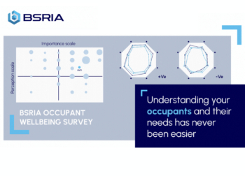
Occupant satisfaction and wellbeing tool inc. physical environment, indoor facilities, functionality and accessibility.

Preserving, waterproofing and decorating buildings.

Many resources for visitors aswell as new features for members.
Using technology to empower communities

The Community data platform; capturing the DNA of a place and fostering participation, for better design.
Heat pump and wind turbine sound calculations for PDRs

MCS publish updated sound calculation standards for permitted development installations.
Homes England creates largest housing-led site in the North

Successful, 34 hectare land acquisition with the residential allocation now completed.
Scottish apprenticeship training proposals

General support although better accountability and transparency is sought.
The history of building regulations

A story of belated action in response to crisis.
Moisture, fire safety and emerging trends in living walls

How wet is your wall?

Current policy explained and newly published consultation by the UK and Welsh Governments.

British architecture 1919–39. Book review.

Conservation of listed prefabs in Moseley.

Energy industry calls for urgent reform.