


Universal transverse mercator projection

Landsat is a joint mission of NASA and the U.S. Geological Survey (USGS) and is a part of the National Land Imaging (NLI) Program.
The Landsat glossary defines universal transverse mercator (UTM) projection as: “A widely used map projection that employs a series of identical projections around the world in the mid-latitude areas, each spanning six degrees of longitude and oriented to a meridian. This projection is characterised by its conformality; that is, it preserves angular relationships and scale and it easily allows a rectangular grid to be superimposed on it. Many worldwide topographic and planimetric maps at scales ranging between 1:24,000 and 1:250,000 use this projection.”
[edit] Related articles on Designing Buildings
Featured articles and news

Energy industry calls for urgent reform.

Heritage staff wellbeing at work survey.

A five minute introduction.
50th Golden anniversary ECA Edmundson apprentice award
![]()
Showcasing the very best electrotechnical and engineering services for half a century.
Welsh government consults on HRBs and reg changes
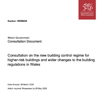
Seeking feedback on a new regulatory regime and a broad range of issues.
CIOB Client Guide (2nd edition) March 2025

Free download covering statutory dutyholder roles under the Building Safety Act and much more.
AI and automation in 3D modelling and spatial design

Can almost half of design development tasks be automated?

Minister quizzed, as responsibility transfers to MHCLG and BSR publishes new building control guidance.
UK environmental regulations reform 2025
Amid wider new approaches to ensure regulators and regulation support growth.

The maintenance challenge of tenements.
BSRIA Statutory Compliance Inspection Checklist
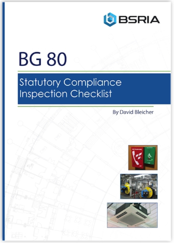
BG80/2025 now significantly updated to include requirements related to important changes in legislation.
Shortlist for the 2025 Roofscape Design Awards
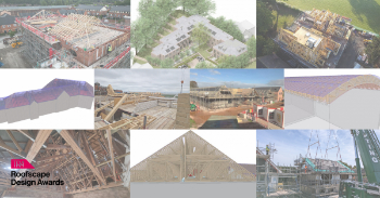
Talent and innovation showcase announcement from the trussed rafter industry.
OpenUSD possibilities: Look before you leap

Being ready for the OpenUSD solutions set to transform architecture and design.
Global Asbestos Awareness Week 2025
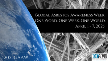
Highlighting the continuing threat to trades persons.
Retrofit of Buildings, a CIOB Technical Publication
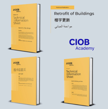
Now available in Arabic and Chinese aswell as English.

The context, schemes, standards, roles and relevance of the Building Safety Act.
Retrofit 25 – What's Stopping Us?
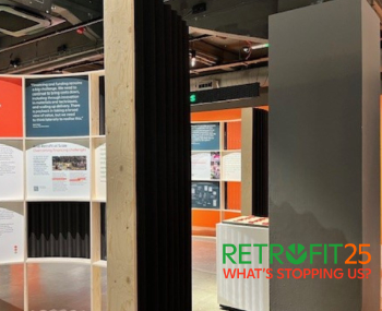
Exhibition Opens at The Building Centre.