


Electromagnetic spectrum

|
Landsat is a joint mission of NASA and the U.S. Geological Survey (USGS) and is a part of the National Land Imaging (NLI) Program.
The Landsat glossary defines electromagnetic spectrum as: “The entire range of radiant energies or wave frequencies from the longest to the shortest wavelengths--the categorisation of solar radiation. Satellite sensors collect this energy, but what the detectors capture is only a small portion of the entire electromagnetic spectrum. The spectrum is usually divided into seven sections: radio, microwave, infrared, visible, ultraviolet, x-ray and gamma ray radiation”.
See also: Thermal optical properties.
[edit] Related articles on Designing Buildings
Featured articles and news
Costs and insolvencies mount for SMEs, despite growth
Construction sector under insolvency and wage bill pressure in part linked to National Insurance, says report.
The place for vitrified clay pipes in modern infrastructure
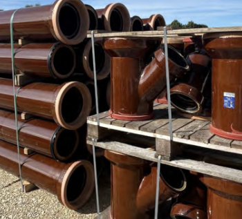
Why vitrified clay pipes are reclaiming their role in built projects.
Research by construction PR consultancy LMC published.
Roles and responsibilities of domestic clients

ACA Safety in Construction guide for domestic clients.
Fire door compliance in UK commercial buildings
![]()
Architect and manufacturer gives their low down.
Plumbing and heating for sustainability in new properties
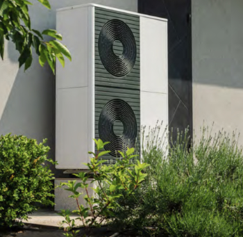
Technical Engineer runs through changes in regulations, innovations in materials, and product systems.
Awareness of the Carbon Border Adjustment Mechanism
What CBAM is and what to do about it.
The new towns and strategic environmental assessments
12 locations of the New Towns Taskforce reduced to 7 within the new towns draft programme and open consultation.
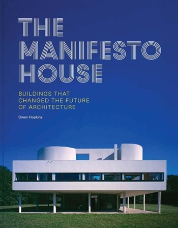
Buildings that changed the future of architecture. Book review.
The Sustainability Pathfinder© Handbook
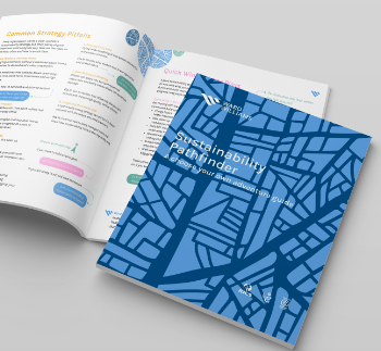
Built environment agency launches free Pathfinder© tool to help businesses progress sustainability strategies.
Government outcome to the late payment consultation, ECA reacts.
IHBC 2025 Gus Astley Student Award winners
![]()
Work on the role of hewing in UK historic conservation a win for Jack Parker of Oxford Brookes University.
Future Homes Building Standards and plug-in solar
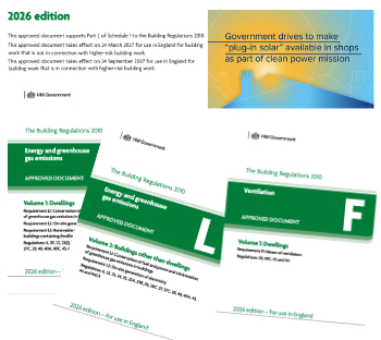
Parts F and L amendments, the availability of solar panels and industry responses.
How later living housing can help solve the housing crisis

Unlocking homes, unlocking lives.
Preparing safety case reports for HRBs under the BSA
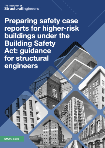
A new practical guide to preparing structural inputs for safety cases and safety case reports published by IStructE.
Male construction workers and prostate cancer
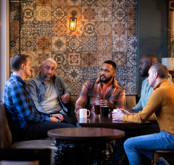
CIOB and Prostate Cancer UK encourage awareness of prostate cancer risks, and what to do about it.