


Preliminary site investigations
The term ‘desk study’ or ‘desktop study’ refers to a study that is carried out purely through research, rather than physical investigations, that is, it can be done sitting at a desk. Desktop studies can provide an initial understanding of a subject or situation, identify potential risks and inform the detail, scope and methodology of subsequent investigations.
On building design and construction projects, the term ‘desktop study’ is often used in relation to preliminary site investigations, referring to the process of gathering background information about site-specific characteristics that will need to be considered during planning, design and construction, or issues that may merit more detailed physical investigations, such as site surveys.
Local authorities often require that a desk study is carried out as part of the planning or building regulations approval process.
Approved Document C of the Building Regulations defines desk studies as, ‘A review of the historical, geological and environmental information about the site’ and describes it as being ‘essential’. Desk studies might also be carried out as the starting point for assessing site lines, local context (such as architectural character, landscape, and so on), archaeology (such as the risk of uncovering archaeological remains, unexploded bombs, and so on), rights of way and other easements, the likely presence of solid and liquid contaminants, site ecology, and so on.
A thorough desk study:
- Provides an initial understanding of the characteristics of an area or site.
- Provides early identification of site characteristics and potential risks so they can be more effectively managed.
- Informs the detail, scope and methodology of subsequent investigations.
- May help avoid undertaking unnecessary, expensive or intrusive investigations.
The most common sources of information that are researched as part of a desk study include:
OS maps, including historical maps can offer information about:
- Changes in potential landslide areas.
- Changes in topography, stream and river courses.
- Coastal erosion.
- Concealed mine shafts.
- Disused quarries and in-filled ponds.
- Drainage.
- Former uses of the site.
- Old clay, gravel and sand pits.
Geological maps can provide an indication of the likely ground conditions and whether, for instance, there is any risk of subsidence or shear.
Aerial photographic records and Google maps provide useful information that can help identify or confirm historical site usage, hidden foundations, changes of topography and river course, and so on.
Services records can help locate hidden services such as; electricity cables, drainage, telephone cables, and so on.
Existing client information may exist from previous investigations, estate record drawings, and so on.
Preliminary site investigations will typically be followed by more detailed physical investigations to assess areas where more information is required, or where there are particular concerns. For more information see: Site investigations.
[edit] Related articles on Designing Buildings
- Archaeology and construction.
- Building archaeology.
- Building survey.
- Development appraisal.
- Ground conditions.
- Insitu testing of soils.
- Laser scanning.
- Pre construction information.
- Site appraisal.
- Site investigation.
- Site investigation information.
- Site surveys.
- Soil report.
- Soil survey.
- Solid and liquid contaminants site risk assessments.
- Walkover survey.
Featured articles and news
Homes England creates largest housing-led site in the North

Successful, 34 hectare land acquisition with the residential allocation now completed.
Scottish apprenticeship training proposals

General support although better accountability and transparency is sought.
The history of building regulations

A story of belated action in response to crisis.
Moisture, fire safety and emerging trends in living walls

How wet is your wall?

Current policy explained and newly published consultation by the UK and Welsh Governments.

British architecture 1919–39. Book review.

Conservation of listed prefabs in Moseley.

Energy industry calls for urgent reform.
Heritage staff wellbeing at work survey.

A five minute introduction.
50th Golden anniversary ECA Edmundson apprentice award
![]()
Showcasing the very best electrotechnical and engineering services for half a century.
Welsh government consults on HRBs and reg changes
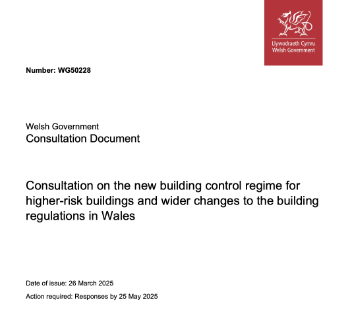
Seeking feedback on a new regulatory regime and a broad range of issues.
CIOB Client Guide (2nd edition) March 2025

Free download covering statutory dutyholder roles under the Building Safety Act and much more.

Minister quizzed, as responsibility transfers to MHCLG and BSR publishes new building control guidance.
UK environmental regulations reform 2025
Amid wider new approaches to ensure regulators and regulation support growth.
BSRIA Statutory Compliance Inspection Checklist
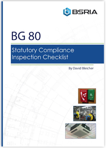
BG80/2025 now significantly updated to include requirements related to important changes in legislation.