Ordnance survey
Ordnance Survey is the national mapping agency for Britain.
Its origins date back to the mapping of the Scottish Highlands following the rebellion in 1745. Since 1 April 2015 Ordnance Survey (OS) has operated as Ordnance Survey Ltd, owned by the Secretary of State for Business, Energy & Industrial Strategy (BEIS).
It describes its aim as ‘..to provide mapping that informs, guides and inspires. Our vision is to reveal our ever-changing landscape in extraordinary detail, giving the most comprehensive view of Britain.’
It provides location-based products such as paper maps, digital map data, online route planning and sharing services and mobile apps. It has mapped the location of every fixed physical object in Great Britain to within one metre accuracy and its team of around 300 surveyors and two aircraft produce 10,000 updates to its system every day.
Ordnance survey paper and digital maps can be useful as a basis for creating site plans, location plans and block plans for proposed developments, and for illustrating pre-development layouts for the purpose of planning applications, building regulation applications, preparing design proposals, feasibility studies and so on.
For more information go to https://www.ordnancesurvey.co.uk/
[edit] Related articles on Designing Buildings Wiki
Featured articles and news
The history of building regulations
A story of belated action in response to crisis.
Moisture, fire safety and emerging trends in living walls
How wet is your wall?
Current policy explained and newly published consultation by the UK and Welsh Governments.
British architecture 1919–39. Book review.
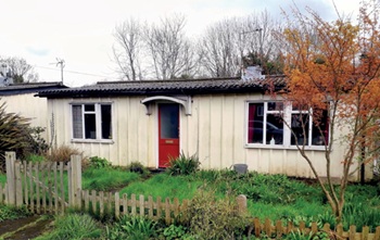
Conservation of listed prefabs in Moseley.
Energy industry calls for urgent reform.
Heritage staff wellbeing at work survey.
A five minute introduction.
50th Golden anniversary ECA Edmundson apprentice award
Showcasing the very best electrotechnical and engineering services for half a century.
Welsh government consults on HRBs and reg changes
Seeking feedback on a new regulatory regime and a broad range of issues.
CIOB Client Guide (2nd edition) March 2025
Free download covering statutory dutyholder roles under the Building Safety Act and much more.
AI and automation in 3D modelling and spatial design
Can almost half of design development tasks be automated?
Minister quizzed, as responsibility transfers to MHCLG and BSR publishes new building control guidance.
UK environmental regulations reform 2025
Amid wider new approaches to ensure regulators and regulation support growth.
The maintenance challenge of tenements.
BSRIA Statutory Compliance Inspection Checklist
BG80/2025 now significantly updated to include requirements related to important changes in legislation.











Comments