


Ground control point GCP

Contents |
[edit] Introduction
A ground control point (GCP) is a place or object with a known geographic location (or GPS coordinate) that can be used as a reference point to deliver a precise aerial map for surveying purposes. GCPs are built on the principle of recording the position of an object by calculating the distance and angles between strategically selected points. GPCs can make it possible to map large areas in aerial mapping surveys.
[edit] Parameters for GCPs
GPCs can be photo identifiable objects (such as a manhole cover) or a marked black and white symbol (such as the figure “X” painted on the ground or a small section of a checkerboard). Traditional surveying methods or existing maps can be used to locate the points, but other approaches - such as LiDAR or Google Earth - can also be used.
From an aerial photography perspective, GCPs are a traditional method of defining a location. High contrast colours can be used to make GCPs stand out on drone maps. They should have centrepoints that are clearly defined.
There are other parameters for creating GCPs, including spatial reference systems. These systems are used to relay positions in GCPs by defining several parameters, including:
- Reference ellipsoid. This is the geometric surface that represents the approximate shape of the Earth.
- Reference datum. This is the reference point that is used as the basis for the measurement of all positions.
- Geoid model. This representation of the Earth’s surface uses mean sea level as the reference point of measurement.
- Unit of measurement. This data should be clearly stated - degrees (in latitude and longitude, metres or feet) in relation to how the GCP will be measured in relation to the reference datum.
- Map projection. The method of converting the map from a 3D ellipsoid into a flat plane applies a formula referred to as coordinate transformation.
[edit] Advances in drone surveillance
While GCPs have been a tested method of aerial mapping, there are some inefficiencies associated with the method. There can be logistical challenges when obtaining authorisation for access. In some cases, it may not be possible to gain physical access to the area, even once permission has been granted, due to dangerous terrain or hazardous or remote locations.
In addition, set up can involve a significant amount of time, labour and equipment.
There are several types of equipment that use differential correction technology to provide better data location information; this essentially removes the need for GCP set up. The most commonly used options are real time kinematic (RTK) and post processed kinematic (PPK). RTK makes real time corrections to images captured by GPS while PTK corrects location data after it has been collected and uploaded. In some instances, it can be helpful to use GCPs to enhance information gathered by RTK or PPK enabled technologies, particularly in instances where it is important to capture certain types of precise data regarding accuracy of scale, orientation and so on.
[edit] Related articles on Designing Buildings
- Construction drones.
- Global positioning systems and global navigation satellite systems.
- Ground sample distance GSD.
- Interview with Elly Ball, co-founder Get Kids into Survey.
- Land surveying.
- Laser scanning for building design and construction.
- Post processed kinematic PPK.
- Real time kinematic RTK.
- Universal transverse mercator projection.
- Uses of drones in construction.
Featured articles and news
Mental Health Awareness Week with ABS

Architects Benevolent Society programme of activity.
CLC publishes domestic retrofit competency framework
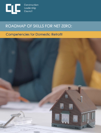
Roadmap of Skills for net zero.

May 13-19: Moving more for our mental health.
Understanding is key to conservation.
Open industry engagement survey seeks responses

Institutions and the importance of engagement.
National Retrofit Hub unveils new guide
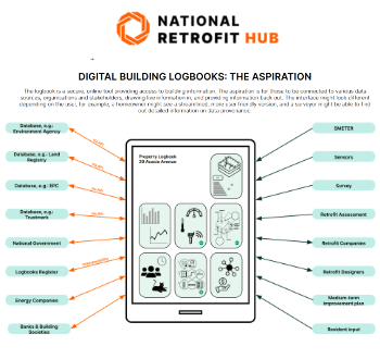
Digital Building Logbooks and Retrofit: An Introduction.
Top 50 firms awarded 52bn of projects in the last year

New engineering data shows.
Enhancing construction site reporting efficiency

Through digitisation and the digital revolution.
Noise in the built environment
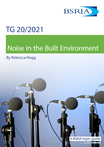
BSRIA guide TG 20/2021.
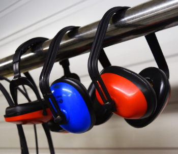
17,000 people suffer conditions as a result of exposure to excessive noise at work.
Turning down the noise: Auditory health
A pervasive risk with far-reaching consequences.
Getting the most out of heat pumps and heating
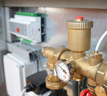
How heat pumps work and how they work best.
Plumbing and heating for successful retrofit and renovation
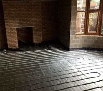
Low temperature underfloor systems and heat pumps.
Cost-of-living crisis and home improvement plans
Starting on the right footing and top tips for projects.
Delays on construction projects

Types, mitigation and the acceleration of works.
From Chaucer to Fawlty Towers.

Electrotechnical excellence, now open for entries.
Net zero electricity grids BSRIA guide NZG 5/2024
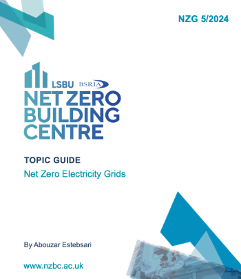
Outlining the changes needed to transition to net zero.
CIOB Global Student Challenge 2024
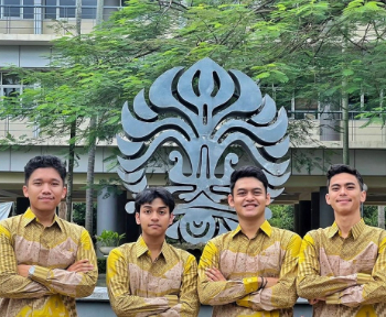
Universitas Indonesia wins for second year running.