


Flood map
Code of practice for property flood resilience, Edition 2, published by CIRIA in 2020, defines a flood map for planning as: ‘A map for land-use planning and development purposes, showing what flood zone (under National Planning Policy Framework (MHCLG, 2019) definitions) a proposed development is in.’
[edit] Related articles on Designing Buildings Wiki
- BREEAM Flood risk management.
- Building flood resilience.
- Design flood event.
- Environment Agency.
- Flood risk.
- Flood.
- Groundwater.
- Property flood resilience.
- Pumps and dewatering equipment.
- River engineering.
- Sustainable urban drainage systems.
- Temporary flood defences.
- Types of flood.
- Water engineering.
- Water table.
- Workplace design – flood protection.
Featured articles and news
UK Construction Week, London is here !
Debuting major international pavilions and much more.
Getting the most out of heat pumps and heating

How heat pumps work and how they work best.
Plumbing and heating for successful retrofit and renovation
Low temperature underfloor systems and heat pumps.
Cost-of-living crisis and home improvement plans
Starting on the right footing and top tips for projects.
Delays on construction projects

Types, mitigation and the acceleration of works.

From Chaucer to Fawlty Towers.

Electrotechnical excellence, now open for entries.
Net zero electricity grids BSRIA guide NZG 5/2024
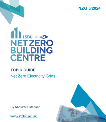
Outlining the changes needed to transition to net zero.
CIOB Global Student Challenge 2024

Universitas Indonesia wins for second year running.

New project and cultural district described in detail.
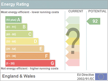
The nature of EPCs, crticism and inaccuracies.

History, issues and redesign.
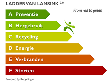
From waste recycling to energy performance the hierchy.
ECA 2024 Apprentice of the Year Award

Entries open for submission until May 31.
UK gov apprenticeship funding from April 2024

Brief summary the policy paper updated in March.