


General boundaries
Land measurement for planning and development purposes, Guidance Note, Global 1st edition, Published by the Royal Institution of Chartered Surveyors (RICS) in May 2021, states: ‘Parts of the UK operate a general boundaries system, which has limitations that need to be understood. The title plan shows the general position of the boundaries; it does not show their exact line. Measurements scaled from such plans may not match measurements between the same points on the ground. When a land registry shows a general boundary on a title plan, it means that somewhere nearby there is an exact legal boundary. Other national systems rely on various forms of determined boundaries (see Boundary).’
[edit] Related articles on Designing Buildings Wiki
Featured articles and news
UK Construction Week, London is here !

Debuting major international pavilions and much more.
Getting the most out of heat pumps and heating

How heat pumps work and how they work best.
Plumbing and heating for successful retrofit and renovation
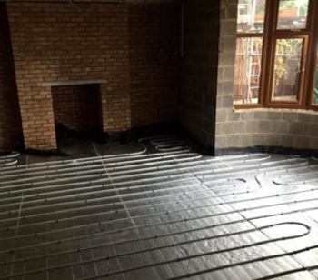
Low temperature underfloor systems and heat pumps.
Cost-of-living crisis and home improvement plans
Starting on the right footing and top tips for projects.
Delays on construction projects

Types, mitigation and the acceleration of works.

From Chaucer to Fawlty Towers.

Electrotechnical excellence, now open for entries.
Net zero electricity grids BSRIA guide NZG 5/2024
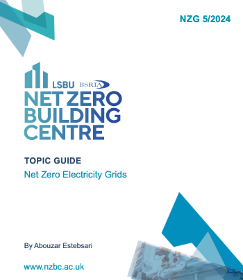
Outlining the changes needed to transition to net zero.
CIOB Global Student Challenge 2024

Universitas Indonesia wins for second year running.

New project and cultural district described in detail.
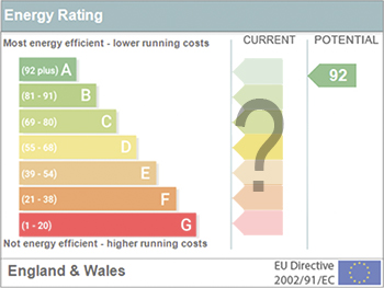
The nature of EPCs, crticism and inaccuracies.

History, issues and redesign.
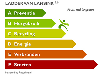
From waste recycling to energy performance the hierchy.
ECA 2024 Apprentice of the Year Award

Entries open for submission until May 31.
UK gov apprenticeship funding from April 2024

Brief summary the policy paper updated in March.